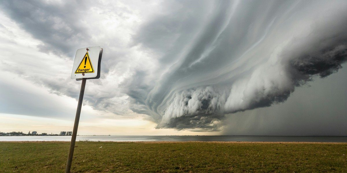
Houston is under heightened alert after a fast-moving line of severe thunderstorms triggered multiple tornado warnings and produced at least one confirmed tornado across northwest Harris County. The system developed rapidly on Monday afternoon, bringing dangerous winds, hail, and rotation strong enough to prompt shelter-in-place alerts across several communities.
The severe weather outbreak arrived during a period of unstable atmospheric conditions, creating the perfect environment for sudden tornado formation. Emergency officials warn that additional storms may redevelop as the system continues to move across Southeast Texas.
A Tornado Touches Down in Northwest Harris County
A tornado formed in the Willowbrook and Jersey Village area, carving a narrow but damaging path across neighborhoods and commercial districts. Initial assessments show torn roofing, snapped trees, scattered debris, and structural damage to several buildings. Emergency crews also responded to a gas leak after strong winds tore through portions of a local service district campus in Klein.
Despite the extent of the damage, early reports indicate no major injuries, though first responders continue sweeping affected areas to ensure residents are safe.
Tornado Warnings Across Harris and Montgomery Counties
Throughout the afternoon, multiple tornado warnings were issued for Harris and Montgomery counties as radar indicated tight rotation and potential funnel formation. Residents reported sudden bursts of wind, intense rain, and rapidly shifting cloud formations typical of developing tornadoes.
Warnings were brief but serious, underscoring how quickly the storms were evolving. In several cases, alerts were issued and cleared within minutes as cells intensified, then weakened just as fast.
Airport Ground Stop and Widespread Power Outages
Severe weather disruptions extended far beyond the direct impact zone. George Bush Intercontinental Airport implemented a ground stop, halting inbound flights as thunderstorms produced dangerous crosswinds and lightning near the airfield.
Power outages surged across the Houston area, with tens of thousands of customers losing electricity as wind gusts toppled branches and downed lines. Utility crews are working through hazardous conditions to stabilize service, though officials warn that additional outages are possible as the storm line continues.
Damage in Spring, Cy-Fair, and Klein
Neighborhoods in northern Harris County saw some of the most visible effects:
- Spring reported uprooted trees and scattered roof damage.
- Cy-Fair residents described a sudden roar as winds intensified, tearing off fencing and pushing debris against homes.
- Klein emergency services facilities experienced structural damage linked to powerful rotating winds.
Cleanup is expected to continue into the night as local agencies assess road safety, infrastructure issues, and potential secondary hazards.
What Residents Should Expect Next
Although the most intense rotation has weakened, forecasters warn that additional severe thunderstorms remain possible into the evening. The region stays under a tornado watch, meaning conditions are still favorable for rapid development.
Residents are urged to:
- Stay alert for new warnings
- Avoid driving through flooded or debris-strewn roads
- Keep devices charged in case of extended outages
- Follow local emergency instructions
- Monitor updates from regional officials
Weather experts stress that even if tornado activity subsides, strong winds and hail remain a threat. The system’s unpredictable nature means conditions can deteriorate quickly.
A City on Alert, but Responding Quickly
Houston’s emergency management teams, first responders, and utility crews are mobilized across affected zones, focusing on safety, damage assessment, and rapid response. While the storm has left a visible mark on parts of the region, the coordinated handling of warnings, alerts, and community safety measures has helped prevent more serious impacts.
The situation continues to evolve, and the coming hours will determine whether additional threats emerge as the storm line travels east across Southeast Texas.


